by Pivot
Tag: GIS
The Competitive Landscape of Field Operations: A Ground Truth War
Field operations use geographic information systems and remote sensing technologies like drones, satellites, and vehicle-mounted sensors.

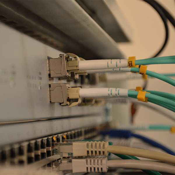
Legacy GIS Tools and Processes Don’t Cut It for Broadband Infrastructure
GIS systems built specifically for broadband enable providers to design circuits, including fiber strands, and to
Introducing a New Way to Design Networks
Network design can be a complicated process. But tools exist to simplify that process. Tools that incorporate GIS functionality are

Broadband Innovator Series: Leveraging Your Data with GIS to Keep it Alive
A hot topic broadband today is leveraging the power of GIS for a service provider’s network and business operations. In this interview, we …

FCC Moves on New National Broadband Map, Carrier Broadband Availability Data Due 9/1
Carriers will have to submit broadband availability data by Sept. 1 (or maybe earlier) for the new FCC national broadband map initiative

NTIA Broadband Map Project Now Has 40 State Participants
The NTIA broadband map project is a geographic information system that enables visualization of broadband availability data from multiple