When broadband service providers (BSPs) think of staying competitive, they often consider price, bandwidth, service area, and customer service. However, field operations is a frequently overlooked area.
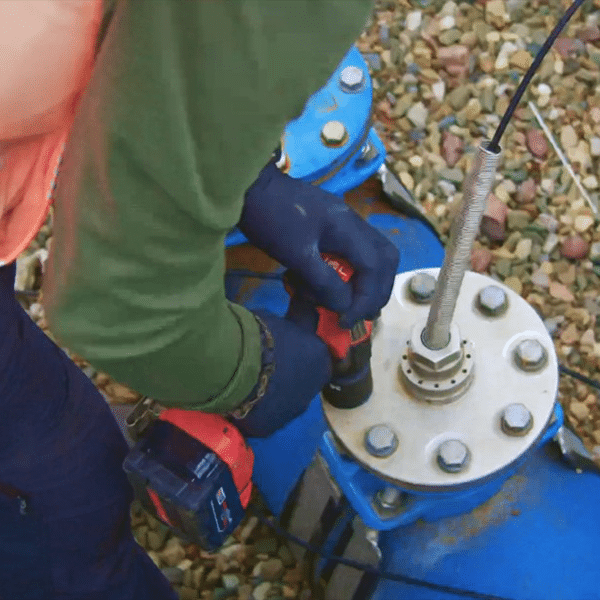
In this field of battle, BSPs compete with field teams composed of surveyors, OSP engineers, and others to understand the ground truth and respond to it as quickly as possible. Field teams compete every day to design, stand-up, and maintain networks more efficiently. But with ongoing labor shortages, these valuable skilled workers are often deployed unnecessarily and without proper pre-surveying. This can cause various delays and inefficient use of time and resources.
Many BSPs are now investing in technology that speeds up their acquisition of ground truth. Various motives can drive this investment in the digital transformation of field operations:
- Government funding and private equity demand faster, more accurate feasibility studies and network design to capture funds.
- Competitors are expanding into your area, and you need to move more rapidly.
- You want to expand into a new area, or a competitor’s area, to capture new customers.
- You need a map of your entire network for better maintenance planning.
Collecting ground truth can be needlessly time-consuming when on-site field teams are used in situations where remote data capture would be possible. Progressive field operations use geographic information systems (GIS) and remote sensing technologies — such as drones, satellites, and vehicle-mounted sensors — to capture detailed field data remotely, reducing the need for on-site visits.
Understanding your options is the first step to optimizing your operations. There are two major parts of this process: data capture and processing.
Data Capture
Moving from on-site data capture to remote data capture doesn’t happen overnight. Early on, it’s critical to decide whether to outsource this capability or gradually develop it in-house. Whatever route you go, the technology options are the same. Generally, the closer your capture method is to the ground, the higher the degree of accuracy. The latest drones, for instance, can achieve accuracy as high as two inches per pixel.
Each geospatial data collection method comes with its own set of strengths and weaknesses:
- Drone imagery is well-suited for wide-area surveys with fast turnaround times. Drones offer high precision and accuracy, though they can be a more costly option.
- Mobile LiDAR (light detection and ranging) is ideal for detailed surface modeling and the detection of subtle elevation changes. If you need to capture 3D features, LiDAR-mounted cars are an excellent option. For example, mobile LiDAR can help you map physical elements of the area for use cases like pole management.
- High-resolution aerial capture via planes or satellites offers broad geographic visibility for planning and routing. When using a method like aerial capture, it’s important to consider factors like the amount of vegetation in your project area. Fall or early winter — when the foliage is gone and before snow has arrived — is a great time for data collection.
Each of these methods quickly delivers actionable and accurate data that supports everything from asset management and clearance violation detection to large-scale network designs and builds.
For a quick and convenient alternative, open-source satellite data is often readily available. This can be especially useful when BSPs need a simple base map. Unfortunately, open-source satellite data can become outdated quickly and may lack the level of resolution your project requires.
Field Data Processing and Mapping
Once field teams remotely capture geospatial data, the next crucial step is extracting and processing that data to make it usable for operations and field crews.
Manual processing of geospatial field data can be an incredibly time-consuming task, reintroducing unnecessary delays into your workflow. The time saved with remote capture technologies could be lost in the processing of that data if you are not careful. Introducing automation into data processing and mapping can save BSP engineering teams weeks of effort. This saved time is critical because broadband expansion projects are long and complicated — according to a recent Foundation for Rural Service report, the typical broadband expansion project takes around four years.
Human-in-the-loop AI models can process massive amounts of geospatial mapping data and create GIS and computer-aided design (CAD) outputs quickly and accurately. However, these are not easy to set up, and out-of-the-box AI software requires setup, training, and ongoing quality control that some smaller teams don’t have time for. Once set up, automated processing makes mapping data manageable.
Once remote sensing capture and automated processing workflows are set up, BSP engineering teams can access and utilize field data more quickly and efficiently. An important thing to keep in mind is that integrating remote sensing technologies and automated mapping does not replace your field teams — it makes them more effective by doing the groundwork for them. Learn how AirWorks can empower your team to build faster, smarter, and more efficiently.
Want to learn more about optimizing your field operations? Join us for our upcoming Telecompetitor webinar: “Next-Gen Mapping and Automation for Broadband Projects.”
Corey Lanctot, Account Executive
AirWorks
Corey Lanctot is an Account Executive at AirWorks. As a digital transformation expert, Corey helps clients stay ahead of the competition by leveraging the latest in data capture and processing. She has helped firms elevate their operations with geospatial intelligence for years, having spent time at EagleView, Pix4D, DroneUp, and 4M.